Council has designated a range of areas across the Northern Beaches as Alcohol Free Zones (AFZs) and Alcohol Prohibited Areas (APAs).
AFZs and APAs are intended to reduce antisocial behaviour and crime associated with alcohol consumption.
Police and Rangers patrol these areas. Any person observed to be drinking in an APA or AFZ may have the alcohol in their possession immediately seized and tipped out or otherwise disposed of.
These measures can help Council to keep public spaces and streets safe and enjoyable for residents and visitors.
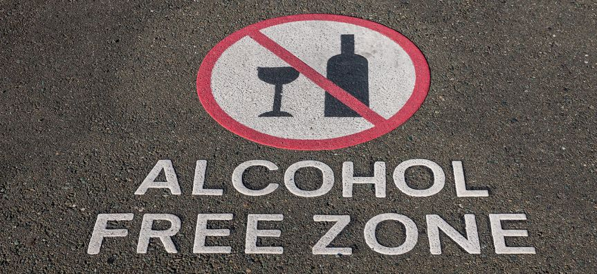
Alcohol Free Zones - 24 hours
AFZs apply to road-related public areas (eg. public road, footpath, laneway or carpark)
Alcohol Free Zones (AFZs) can be established by Council in road-related public areas (e.g. public roads, footpaths, laneways or carparks).
Drinking alcohol in an AFZ is prohibited 24 hours per day.
Police and Council Rangers can confiscate and dispose of alcohol in AFZs at any time.
AFZs are reviewed every 4 years.
Northern Beaches AFZs are listed below. Maps are available to view by following the links provided.
- Avalon -Extends across the main shopping centre bounded in the north by Central Avenue, on the east by Barrenjoey Road and adjacent carparks. Surfside Avenue, in the south by Dress Circle Road and Bellevue Road at the south, and all public carparks, streets and pathways contained within this area. PDF map
- Belrose - A: Bounded by Blackbutts Road to the south, Glen Street and the newly constructed shopping precinct to the north, Glen Street to the west and Pringle Avenue to the east. B: Pindrie Place, Wingara Grove through Haigh Street down Coora Avenue, Marina Place and Lowanna Street. PDF map
- Brookvale - Warringah Mall Bus Stops. PDF map
- Church Point - From the cargo wharf in McCarrs Creek Road to the eastern end of the Church Point carpark ; and includes all public carparks, footpaths and streets bounded by this area. PDF map
- Collaroy - Pittwater Road between Brissenden Avenue to the south and Jenkins Street to the north. PDF map
- Cromer - Fisher Rd North at Cromer Community Centre. PDF map
- Dee Why - Pittwater Road in the west, and extends down Pacific Parade, Oaks Avenue and Howard Avenue to Avon Road and bounded by Richmond Road in the north, on the east by The Strand, extending to the Surf Life Saving Club and by Pacific Parade at the south. PDF map
- Forestville - Shopping Precinct bounded by Starkey St, Violet Lane, Melrose and Warringah Road. PDF map
- Freshwater - A: Lawrence Street from Oliver Street in the West, Oceanview Road in the north, down to Undercliff Road in the south, including the public carpark adjacent to Freshwater Beach and next to the Freshwater Surf Life Saving Club, and all public carparks, streets and pathways contained within this area. B: Charles Street through to Evans Street down to the junction of Lumsdaine Drive. PDF map
- Manly - North Steyne and South Steyne, Ashburner Street, East and West Esplanade, Eustace Street, Pittwater Road and Steinton Street. Bounded by and including Raglan Street, Park Avenue and Sydney Road to Birkley Road. PDF map
- Mona Vale - A: Bounded by the junction of Darley Street and Pittwater Road to the north, along Surfview Road to the East, through to close to the junction of Mona Vale Road and Pittwater Road; and all public carparks, footpaths and streets contained within this area. B: Barrenjoey Road from Darley Street to Seabeach Avenue, down Seabeach Avenue to Terrol Crescent, and along Terrol Crescent adjacent to Seabeach Gardens Retirement Village. PDF map
- Narrabeen - A: Pittwater Road between Ocean Street to the south and the bridge over Narrabeen Lake to the north. B: Wellington Street carpark. PDF map
- Newport Beach - Extends through the main shopping centre and is bounded by the carparks parallel to Barrenjoey Road, Foamcrest Avenue, Seaview Avenue and Neptune Street to the North; and includes all public carparks, footpaths and streets bounded by this area. PDF map
- Newport Residential - From Barrenjoey Road in the east, bounded by Gladstone Street in the North; Beaconsfield Street in the South; Pittwater in the West; and includes all public carparks, footpaths and streets bounded by this area. PDF map
- Palm Beach - Ocean Road from the rock pool end, through to the junction with Palm Beach Road; and all public carparks, streets and pathways contained within this area. PDF map
Alcohol Prohibited Areas
APAs apply to non-road-related public places (eg. parks, reserves and beaches)
An Alcohol Prohibited Area (APA) is a non-road related public place, for example a park, reserve or a beach, where drinking alcohol is prohibited. APAs can be applied at all times, or only for specific days, times or events. APAs do not have an expiry date.
APAs enable Police and Council’s Rangers (enforcement officers) to, among other things, tip out or otherwise dispose of alcohol being consumed to deter irresponsible drinking. The priority is to manage public safety risks and anti-social behavior.
24 Hour Alcohol Prohibited Areas
The following Council parks, reserves and beaches are declared as 24 hour APAs.
- Berry Reserve (between Wellington Street and Loftus Street), Narrabeen
- Church Point Reserve Boardwalk (that part adjoining Crown Land at 1860 Pittwater Road), Church Point
- East Esplanade Park promenade, Manly
- Gilbert Park, Manly
- Howard Avenue Reserve, Dee Why
- Ivanhoe Park (including Manly Oval), Manly
- Kangaroo Park, Manly
- Keirle Park, Manly
- Lagoon Park, Manly
- Lagoon Street (park area at the north end), Narrabeen
- Little Manly Reserve, Manly
- Marine Parade, Manly
- North Steyne Reserve, Manly
- Queenscliff Headland Reserve, Queenscliff
- Shelly Beach Reserve, Manly
- South Steyne Reserve, Manly
- Thomas Stephens Reserve, Church Point
- Village Park, Mona Vale
- Walter Gors Park, Dee Why
- West Esplanade Reserve, Manly
- Wingara Reserve, Belrose
- All Beaches (ocean and inner waterways)
8pm to 8am Alcohol Prohibited Areas
All remaining Council parks and reserves that are not listed above as declared 24 hour APAs are 8pm to 8am APAs.
Further information about AFZs and APAs can be found on the Office of Local Government website
Special Events
No special event alcohol prohibited areas currently in place.